
Transportation
GPS PublicTransit
Public Transportation Management
A complete fleet management platform for public transport operators, municipalities and transit authorities.
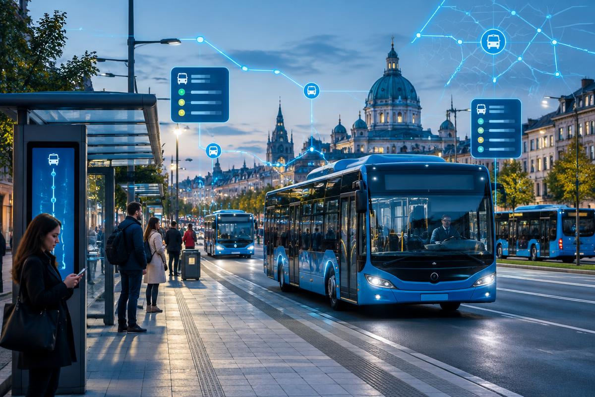
A live operating picture for authorities, operators and passengers.
Solution overview
Turn public transport data into a more dependable service
GPS PublicTransit connects vehicles, routes, stops and service status in one control environment. Operators can supervise route adherence and exceptions while passenger-information systems receive the live data needed for useful arrival updates.
Key benefits
Why teams choose GPS PublicTransit
Operate routes against reliable live and historical data
Improve service visibility for operators and passengers
Give authorities consistent network-level performance reporting
Product capabilities
Network-level control from depot to bus stop
Purpose-built tools turn connected data into practical action for operators, managers and users.
Central control
Monitor active vehicles, routes, delays, gaps and incidents across the transport network.
Route adherence
Compare actual movement with planned routes, stops and timetables in real time.
Passenger information
Feed current vehicle and arrival data into approved apps, displays and journey tools.
Service planning
Use historical travel and stop data to review schedules and improve allocation.
Fleet performance
Combine vehicle condition, driver events and service output for operational oversight.
Open integration
Connect existing infrastructure and municipal systems without locking operations to one device brand.
Platform coverage
How it works
From connected device to operational decision
Connect
Transit-grade vehicle trackers and onboard systems connect securely to the GPS.al platform over GSM, 4G LTE, BLE or supported IoT networks.
Monitor
Live data is translated into route adherence, stop activity, service status and passenger information, status views and operational events in one web platform.
Act
Teams receive alerts, review analytics and use reliable history to make faster operational decisions.
Supported hardware
GPS and IoT devices built around the use case
- Transit-grade 4G LTE trackers
- CAN Bus interfaces
- Passenger counting sensors
- Onboard display and announcement interfaces
Platform access
One system across web and mobile
Web Platform
Live maps, dashboards, configuration, historical playback and reports for operations teams.
Android & iOS Apps
Live status, alerts and essential actions for teams and users away from a desk.
Intelligence
Analytics, alerts and integrations that connect the operation
Reports & Analytics
Review route completion, punctuality, headway, stop activity, distance, vehicle utilization and service exceptions.
Alerts & Notifications
Control teams can act on delays, route deviation, prolonged stops, speeding, vehicle faults and service interruptions.
API & Integration
Open APIs support passenger information, journey planning, municipal data platforms and operational control systems.
Industries & use cases
GPS PublicTransit in operation
Designed around practical deployment requirements, scalable from a focused rollout to a multi-site operation.
Product family
Related GPS.al solutions
GPS SchoolBus
School Bus Management
Safer school transport with live bus tracking and timely parent notifications.
- Live school bus tracking
- Route monitoring
- Student boarding information
- Geofencing
GPS Transit
Employee Transportation Management
Intelligent management for staff buses, shuttles and corporate transportation.
- Employee transport tracking
- Bus tracking
- Route management
- Employee pickup points
See GPS PublicTransit in your operation
Request a tailored walkthrough with your vehicles, routes, devices and reporting requirements in view.